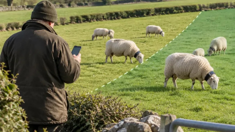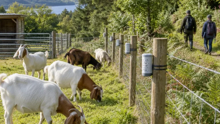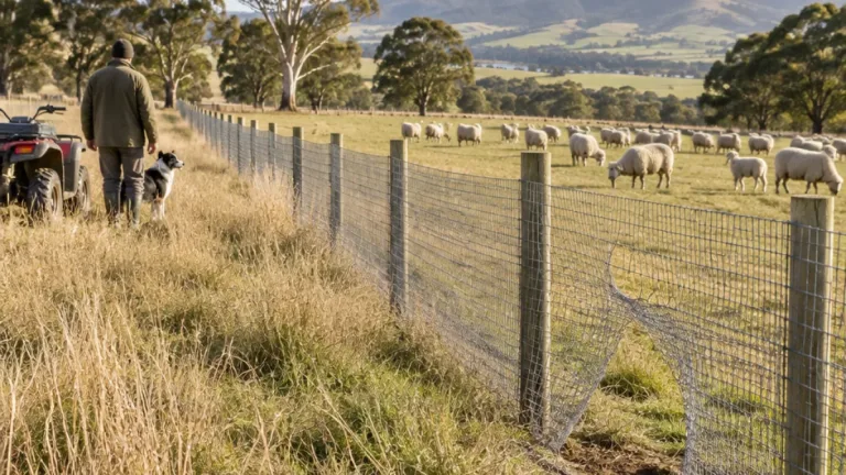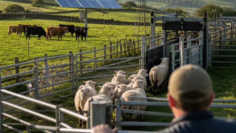
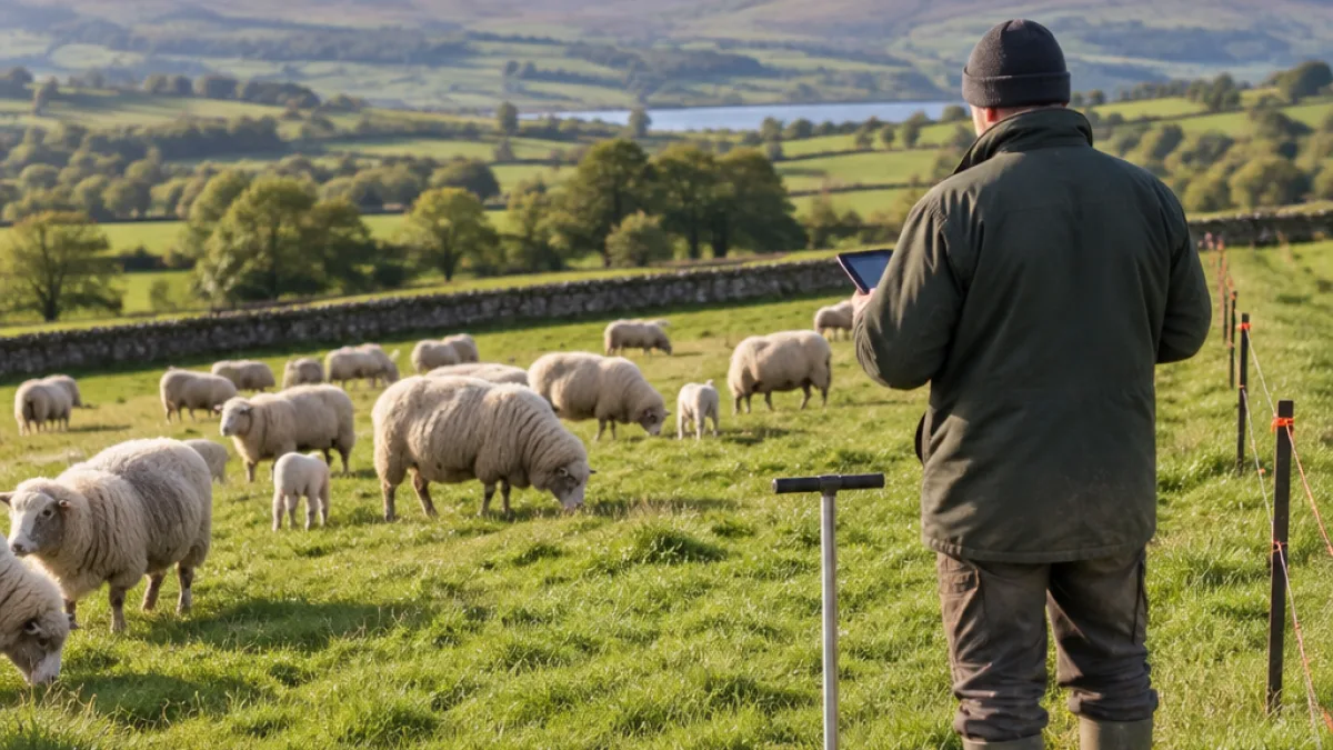
Nofence and EarthOptics are to test whether virtual fencing and soil information can be combined to support grazing decisions in a pilot running across working ranches in Arkansas and Hawaii through the end of 2026.
Nofence provides tools for locating livestock and managing grazing areas without installing conventional fencing, while EarthOptics supplies soil data and intelligence. The companies said the pilot would examine how the two systems could work together across thousands of acres of pastureland.
Testing the technology on working ranches
The trial will involve producers identifying which information is useful for routine management and where more analysis is required. The companies may extend the work to ranches in Texas and Nebraska, depending on the initial results and the level of producer interest.
“Ranchers don’t need more apps, they need better answers. Nofence already lets producers monitor and move their livestock without building a single fence. Pairing that with EarthOptics’ view of what’s happening in the soil is a natural fit. This pilot is about proving on a real ranch that two companies working together can deliver more value than either of us could alone,” said Alex Bell, U.S. managing director at Nofence.
The pilot is intended to investigate several possible uses rather than introduce a completed combined service. These include using soil information when placing virtual boundaries and deciding when livestock should be moved, alongside comparing animal movement with soil and satellite data.
- Using soil conditions to inform paddock placement and grazing rotations
- Combining livestock location with information on grazing pressure and pasture recovery
- Assessing whether the data can improve forage-growth forecasts and grazing recommendations
- Exploring measurement of soil carbon, productivity and other environmental outcomes
Linking animal movement with pasture information
According to the companies, the work will also consider whether combined data could help measure environmental outcomes for producers involved in supply-chain and ecosystem marketing programmes. The assessment is focused on what information can support decisions on operating ranches, including the timing and location of livestock moves.
EarthOptics’ system is intended to show conditions below the soil surface, while Nofence contributes data on where livestock are located and how grazing areas are being used. The pilot will therefore assess the value of bringing land and animal information into the same management process, with producers involved in identifying practical requirements.
“The best grazing decisions come from understanding both the animal and the land. Our technology helps producers see what’s happening below the surface. Bringing that insight together…” said James Clement, chief growth officer and president at EarthOptics.
The companies have not reported results from the pilot. Its stated purpose is to evaluate potential applications, including pasture recovery, forage forecasting and the measurement of environmental outcomes, during work with producers in Arkansas and Hawaii.